Chapter 2 Import libraries and sample dataset
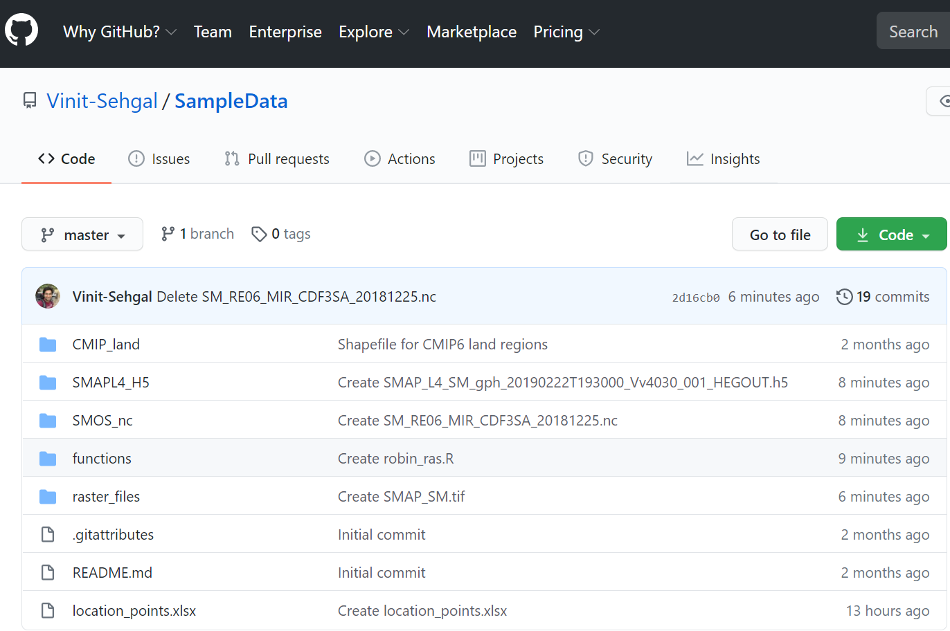
We will begin by loading necessary libraries. The sample dataset for this excercise can be downloaded manually from
GitHub by accessing https://github.com/Vinit-Sehgal/SampleData 
Alternatively, use the following code to download and extract the sample data from GitHub repository.
Install all necessary packages (Run once).
###############################################################
#~~~ Load required libraries
lib_names=c("terra", "tidyterra", "cetcolor", "scico", "tmap",
            "gifski", "lubridate", #"Rcpp",
            "raster","ggplot2","unikn","mapview",
            "gridExtra","rgdal","fields",
            "RColorBrewer","ncdf4","rasterVis",
            "rcartocolor","pacman","purrr","moments","tictoc",
            "sf", "sp", "exactextractr","readxl",
            "snow","future.apply","parallel")
# Load necessary packages
invisible(suppressMessages
(suppressWarnings
(lapply
(lib_names, require, character.only = T))))
# An easy way to load multiple packages is through pacman::p_load
# pacman::p_load("raster","ggplot2","unikn","mapview",
# "gridExtra","rgdal","fields",
# "RColorBrewer","ncdf4","rasterVis", "moments", "tictoc", "tibble")
# Update packages if they are already installed
# update.package(ask = FALSE)
# Update all packages in your list
# Install pacman if missing
#if(!requireNamespace("pacman", quietly = TRUE)) install.packages("pacman")
#pacman::p_update(char = lib_names)Note: The legacy R spatial infrastructure packages - maptools, rgdal and rgeos have been archived by CRAN from October 16, 2023; these retired packages will continue to be available as source packages on https://cran.r-project.org/src/contrib/Archive but won’t undergo any further development.
We will now download the workshop repository, which contains all data we will use for this exercise.
###############################################################
#~~~ Import sample data from GitHub repository
download.file(url = "https://github.com/Vinit-Sehgal/SampleData/archive/master.zip",
destfile = "SampleData-master.zip")    # Download ".Zip"

# Unzip the downloaded .zip file
unzip(zipfile = "SampleData-master.zip")
# getwd()                           # Current working directory
list.files("./SampleData-master")   # List folder contents
## [1] "CMIP_land"
## [2] "CRN_data"
## [3] "functions"
## [4] "images"
## [5] "Largescale_geospatial_analysis_2022.html"
## [6] "Largescale_geospatial_analysis_2023.html"
## [7] "location_points.xlsx"
## [8] "MOPEX"
## [9] "ne_10m_coastline"
## [10] "raster_files"
## [11] "README.md"
## [12] "sample_pdfs"
## [13] "SMAP_L3_USA.nc"
## [14] "SMAPL4_H5"
## [15] "SMAPL4_rasters"
## [16] "SMOS_nc"
## [17] "USA_states"
## [18] "Workbook_DVGAR21-Part1.html"
## [19] "Workbook_DVGAR21-Part2.html"